Biodiversity Snapshots: Bringing the Science of the Half-Earth Project Map to Local Partners
Biodiversity Snapshots: Bringing the Science of the Half-Earth Project Map to Local Partners
June 28, 2024
For as long as scientists have been making discoveries and developing their understanding of our world, they have been attempting to convey their message to the public effectively.
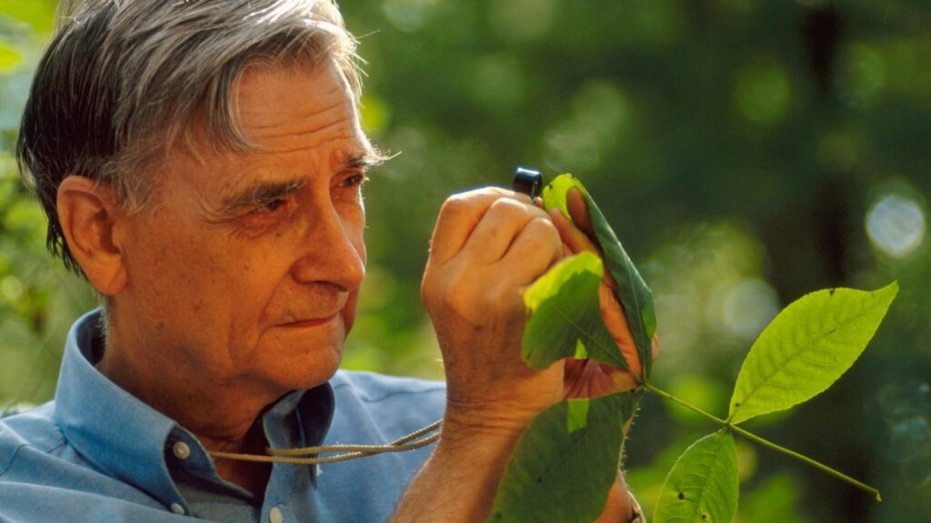
E.O. Wilson
A two-time Pulitzer Prize-winning author, E.O. Wilson was a master communicator and storyteller. He had an innate ability to take intricate scientific concepts and theories and describe them in engaging and meaningful ways for millions of people.
The E.O. Wilson Biodiversity Foundation takes inspiration from this and is working to bring similarly complex information about our planet’s biodiversity to the public.
The Half-Earth Project Map, developed with our partners, is a high-resolution, dynamic decision-support tool that guides where place-based species conservation activities are most needed to protect Earth’s species, including ours. It is a complex tool with an immense amount of information to be shared with diverse audiences around the world, many of whom have limited access to technology. Biodiversity Snapshots provide a quick and easily accessible way forward.
The Biodiversity Snapshot is a user-friendly tool designed to provide a quick overview of the species in a given area and their conservation status. It specifically focuses on IUCN Red List species with overlapping home ranges and endemic species that lack sufficient protection. This valuable information is sourced directly from the Half-Earth Project Map and is designed to be easily understood with images and simple graphs. It can be shared electronically or printed and shared by hand, making it a powerful communication tool.
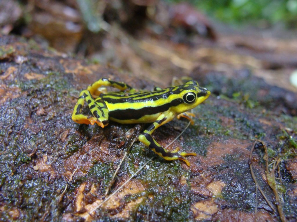
Elegant Stubfoot Toad. credit: Edison Araguillin
Initially, the idea was sparked by several conversations with partners in Ecuador, a country with diverse landscapes and immense biodiversity. Its habitats range from the dense jungles of the Amazon to the alpine heights of the Andean mountains and the infamous Galápagos Islands in the Pacific Ocean. One area of significant importance is the Chocó. The Chocó area runs along the western sections of Colombia and Ecuador; known for extremely high precipitation levels, its forests blanket a mosaic of misty mountain ranges and valleys that make up this biodiverse region.
Impact
Fundación Paisajes Sostenibles (PASOS—Sustainable Landscapes Foundation) is an organization that works at the local level in Ecuador with diverse communities to conserve and manage natural resources using a landscape approach while improving the quality of life for local people. Recently, PASOS was instrumental in the establishment of a new protected area in the Esmeraldas Province. In close collaboration with the provincial government, the Área de Conservación y Uso Sostenible “Camino del Jaguar” (ACUS – Conservation and Sustainable Use Area “Path of the Jaguar”) will protect more than 213,000 hectares of tropical forests, primarily located in the ancestral territories of the Chachi indigenous group, along with Afro-Ecuadorian communities, who will benefit from the protection and sustainable use of its resources.
The location is of high priority and overlaps with Priority Place 430 on the Places for a Half-Earth Future layer on the Half-Earth Project Map. It borders the Cotacachi-Cayapas National Park in the east and connects in the northwest with the Cayapas-Mataje Mangroves Ecological Reserve, essentially acting as a biological corridor between two existing conservation areas.
With the new conservation area in place and guidance from PASOS and Natura International, the first Biodiversity Snapshot of the Half-Earth Project was created with our partners at the Yale Center for Biodiversity and Global Change.
Click image for full Biodiversity Snapshot of Camino del Jaguar
The Biodiversity Snapshots are currently helping PASOS by providing us with data on species of fauna and flora and their conservation status; this helps us demonstrate the urgency and global importance of supporting the conservation of the ACUS “Camino del Jaguar” in the face of multiple threats. We have developed funding applications using data from the Biodiversity Snapshots from the Half-Earth Project Map. Additionally, we find this information useful for presentations about the ACUS to raise awareness about the responsibility of maintaining the ACUS and its conservation values. – Ana Coral, President of PASOS
What’s Next
Since the first Biodiversity Snapshot was created earlier this year, the E.O. Wilson Biodiversity Foundation continues to engage with partners worldwide to develop additional examples of this new communication tool. Fully customizable, each snapshot can focus on a specific taxon, like birds, mammals, or amphibians, and can be created in different languages. Be on the lookout for more examples of Biodiversity Snapshots in the coming months.
If you or your organization could benefit from a Biodiversity Snapshot, please contact Brooks Bonner, Program Director of the Half-Earth Project at the E.O. Wilson Biodiversity Foundation, at bbonner@eowilsonfoundation.org.