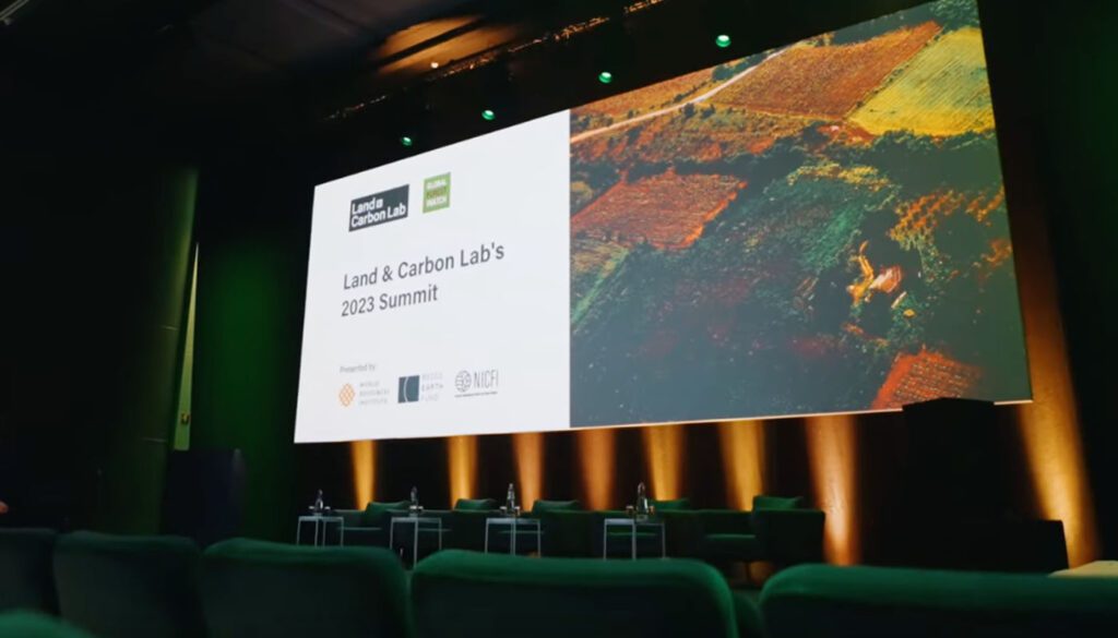
On June 27, the Land & Carbon Lab’s 2023 Summit: Monitoring Land, Mobilizing Action convened policymakers, practitioners and innovators seeking to harness the power of geospatial data to achieve this decade’s climate, nature and sustainable development goals. Members of the E.O. Wilson Biodiversity Foundation joined other world-class experts at the Summit to share how the Half-Earth Project Map is using geospatial data and analytics to guide where conservation activities are most needed to protect Earth’s species.
“If E.O. Wilson was here today, he’d excitedly be reminding us what an amazing adventure we are on: the delight of the journey of discovery, and the opportunity we have to enrich our human experience by working together, like an Apollo mission team, to save our planet and achieve a moonshot,” said Paula Ehrlich, President and CEO, in her opening remarks.
Like other projects and approaches discussed at the Summit, the Foundation’s Half-Earth Project Map uses high-resolution geospatial data to understand which 30% of Earth’s lands and waters need to be protected in order to safeguard the bulk of biodiversity. The map visualizes a global assessment of biodiversity richness and rarity at a 1–50 km scale for all terrestrial and marine vertebrates and at 1km to country scale for hundreds of thousands of invertebrate and plant species. Coupled with data showing human pressures, irrecoverable carbon and existing protected areas, the map reveals priority areas for conservation. The map is easy to read and navigate and can be accessed by anyone in any community for free.
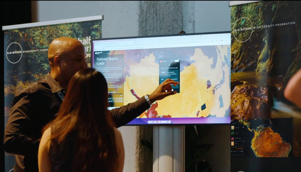
Walter Jetz, the Foundation’s Scientific Chair, provided a deeper look at the map in his presentation, “The State of the Art of Biodiversity Data and Ecosystem Monitoring.” Next, Yale University Center for Biodiversity and Global Change Managing Director Alex Killion presented “Global Targets: Linking Local, Landscape and National Monitoring Efforts.
“Global targets can only be achieved if governments and sub-national organizations are well-equipped to map and monitor species,” said Dr. Killion. “We are co-developing analytical tools that make conservation planning at the species-level feasible given any level of technical capacity.”